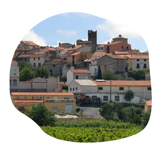
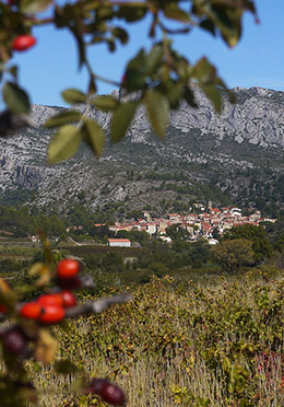
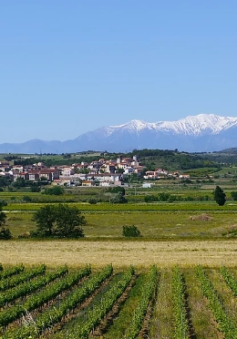
Qu’il s’appelle Montenigro en l’an 959, ou Monnerio en 1275, le village de Montner, frontière entre France et Aragon de 1258 (traité de Corbeil) à 1659 (traité des Pyrénées) se situe dans la région naturelle des Corbières catalanes, au nord de Millas et au sud-ouest d’Estagel. Presque tout le territoire est planté en vignes, soit sur les contreforts de Força Real, soit en plaine. La superficie de la commune est de 1 098 hectares et son altitude varie entre 89 et 507 mètres.
La première mention du lieu date de l’an 959, mais le village primitif se situait au lieu-dit « L’iglésia vella » et se nommait alors « montenigro », en français mont noir, ce qui correspond à la couleur sombre de la montagne (Puig de Montner), là où le sous-sol contient des affleurements de minéraux ferreux. Accroché à un éperon rocheux de schiste, il est également dominé majestueusement par le Mont Canigou (2785m d’altitude), montagne sacrée des Catalans.
0
Montnerois
Nombre d'Habitants
La Ville de Montner compte environ 351 habitants. Ses habitants sont appelés les Montnerois.
Montner
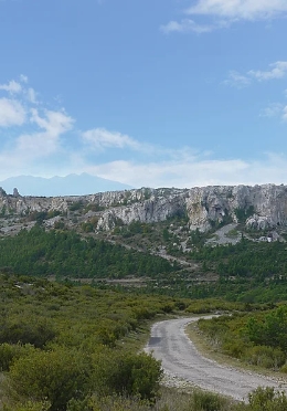
Selon les documents historiques, Montner existait bien avant que ne soit bâti le château de Força Réal, qui sera élevé vers 1250 : le lieu se nomme alors Mons de Monneiro en 1211, Monner en 1240, castrum et Monneiro en 1275, Munner en 1632. La seigneurie de Montner semble avoir été fortement perturbée au cours des siècles, si l’on en croit la table chronologique. Le Château de Força Réal était construit sur un piton schisteux surplombant tout le Roussillon. Du haut de ses 507 m d’altitude, la vue s’étend du cap Béar (Port-Vendres) jusqu’à Leucate, avec un panorama s’étalant de la Vallée de l’Agly à celle de la Têt.